1. Trading Identity
CalonTerra Digital Aerial Intelligence is a trading name of Calonterra Ltd.
Calonterra Ltd also trades separately as Ty Mêl Apiarys (beekeeping), at tymel.co.uk. The two operations are run as separate businesses under the same company; these terms cover the aerial survey operation only.
- Principal Trading Address: 33 Viaduct Court, Pontypool, NP4 5SP.
- DUNS® Number: 235589853
- CAA Operator ID: GBR-OP-Y3XWB898N962
- ICO Registration: ZC030996
2. AI Usage & Integrity Policy
To ensure absolute trust in our data, CalonTerra adheres to a strict ethical standard regarding the use of Artificial Intelligence:
The "Raw Data" Guarantee
We strictly do not use generative AI to alter, enhance, or retouch survey imagery delivered to clients. The structural data you receive (roof condition, defects, topography, point clouds) is a forensic representation of reality. We do not use AI to "fix" cracks or remove physical obstacles in inspection data.
Marketing & Presentation
For public-facing website content and marketing materials only, we may use AI tools for:
- Privacy protection (blurring faces/number plates).
- Image clarity enhancement (noise reduction in low light).
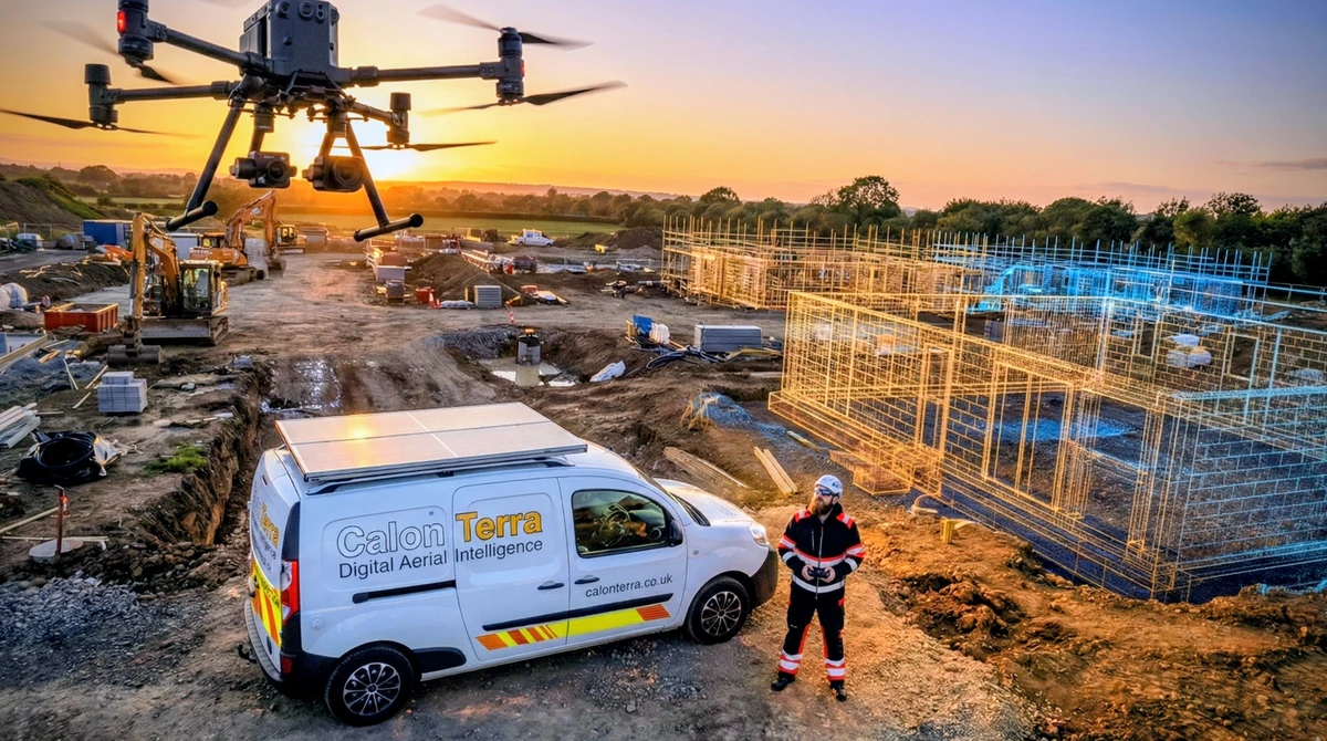
- Overlaying 3D CAD visualizations on site photos.
3. Privacy & Location Data
We collect specific data to ensure the legality and safety of our drone operations.
GPS & Flight Authorization
When signing a "Flight Authorization Instrument" (Contract) on-site, we capture the GPS Location, IP Address, and Timestamp of the signing device. This serves as a "Digital Witness" to validate that the authorization was signed physically on-site, preventing fraud. This data is stored securely offline.
Data Storage
Physical records are secured at our principal trading address. Digital records are encrypted and stored on UK-GDPR compliant servers. We do not sell data to third parties.
The summary above covers the data specific to our flight operations. Our full Privacy Policy sets out everything we collect through this website, how long we keep it, who it is shared with and how to exercise your rights under UK GDPR.
4. Website Terms of Use
Intellectual Property: All imagery, video, and 3D models on this site are the property of CalonTerra unless otherwise stated. Unauthorized use is prohibited.
No Scraping: The use of automated systems (bots/scrapers) to extract data or imagery from this website for machine learning training is strictly prohibited.
Disclaimer: Information on this site is for general guidance. We are not Chartered Surveyors or Structural Engineers; our data is an inspection aid for qualified professionals.
5. Terms of Engagement for Survey Work
These are the working terms every survey is booked under. They are stated here rather than buried in a quotation so that you know what you are agreeing to before you pick up the phone.
Booking and Confirmation
A booking is confirmed once we have the site address, a named point of contact and written agreement to the quoted fee. Before we attend, we check the airspace, the proximity of the site to uninvolved persons and any restrictions over the property. If that check shows the flight cannot lawfully or safely be carried out, we say so at that point and no charge arises.
Access and Permissions
You must be able to grant lawful access to a safe take-off and landing point, and to authorise the flight over the property being surveyed. For a pre-purchase inspection that authorisation comes from the vendor or their agent, not the buyer. We photograph the subject property only, and we will not accept an instruction that depends on overflying or imaging a neighbour's land without their knowledge.
Weather and Aborted Flights
Persistent rain, cloud below the planned operating height, or wind beyond the aircraft's stated limit will stop a flight. If we attend and cannot fly usefully, there is no charge for the visit and it is rescheduled at the originally quoted rate. We would rather return on a better day than hand over imagery that cannot support a finding.
Cancellation
Cancel more than 24 hours before the agreed slot and nothing is payable. Inside 24 hours, or where we attend and are refused access on arrival, a call-out charge applies to cover the reserved slot and travel. Rescheduling for a genuine reason is not treated as a cancellation.
Deliverables and Turnaround
Residential condition reports and the accompanying full-resolution image set are normally issued within 24 to 48 hours of the flight. Processed data such as orthomosaics, point clouds and terrain models takes longer because the processing itself does; a realistic date is given at quotation and we tell you if it slips. You can see exactly what a finished residential report looks like on our sample report page.
Ownership and Use of Your Data
You receive a permanent licence to use the imagery and data from your own survey for any purpose connected with the property, including sharing it with roofers, surveyors, solicitors and insurers. We retain copyright in the raw capture. We will not publish imagery of an identifiable private property in our own marketing without asking you first.
6. What We Can and Cannot Legally Fly
Our permissions are a matter of public record, and they set real limits on the work. Being straight about those limits is more useful to you than a claim to fly anywhere.
- We operate in the Open Category under an A2 Certificate of Competency, with CAA Operator ID GBR-OP-Y3XWB898N962.
- Separation distances are non-negotiable. We maintain the required separation from uninvolved people and property we do not have permission to be near. On a tight terrace or a busy high street that occasionally means an elevation cannot be captured from the angle you would like, and we will tell you that before invoicing rather than after.
- Flight restriction zones require prior authorisation. Sites near an aerodrome, a prison or a protected installation need clearance arranged in advance, which takes time. Factor it into your deadline.
- We do not fly in controlled airspace without permission, at night without appropriate lighting and assessment, or beyond visual line of sight.
- We decline work we cannot do safely. If a site cannot be surveyed within our permissions, we say so and, where we can, point you to somebody whose permissions cover it.
7. Complaints and Liability
If something about a survey or a report is wrong, tell us and we will re-fly or re-issue at our cost where the fault is ours. Complaints go to info@calonterra.co.uk and are acknowledged within two working days.
We carry £5 million public liability insurance for commercial aerial operations. Our liability for the survey itself is limited to the fee paid for it. Because we are not Chartered Surveyors or Structural Engineers, we do not accept liability for decisions taken on the basis of our imagery without professional advice; the report is evidence for a qualified professional to act on, and it says so on its face.